


NaSense | Spot That Fire!
The Challenge | Spot That Fire!
Wildfire Escape
Crowdsourcing forest fire alarm platform
我們的宗旨:集眾人之力,建立即時資訊平台以預防森林火災造成的人命、動物、財產損失
現有問題:
1.各地資訊散亂,缺少統一的平台。
2.政府發現火災發生、及民眾得知消息的時間都過長。
3.現場沒有人員不斷監控、提供最新的消息
我們的解決方案:
1.提供整合性的資訊平台
2.民眾即時回報的機制(電話、網路)
3.社群媒體串連
火災防範的消費者歷程
1. 火災前的預防
2. 火災發生的通報
3.火災發生的檢驗
4.火災發生的處理
5.火災發生的逃離
Vision: Create Crowd sourcing real-time platform to save hundreds of billion loss and thousands family damage
Existing Problem:
1.No unified Information Source
2. Long Response Time
3.No eyes on the ground
Our solution:
1.Information Aggregation Platform
2.Real-Time Report Mechanism
3.Crowd sourcing Social Community
Platform Link: https://wildfireescape.weebly.com/
------------------------------
參考資料
火災前的預防預測
USGS 美國地理調查局 野火預測資料/地圖https://firedanger.cr.usgs.gov/viewer/
USGS 美國地理調查局 植被https://landfire.cr.usgs.gov/viewer/viewer.html?
bbox=-91.5104847614569,36.9902880903316,-86.3384833104875,42.8899946635264
美國華盛頓州 森林大火監控塔分布圖http://www.firelookout.com/WAmapstanding.html
當今森林大火偵測系統比較(論文)https://www.dropbox.com/s/8ghqq3g6hg32nsc/A%20Review%20on%20Forest%20Fire%20Detection%20Techniques.pdf?dl=0
火災相關知識
如何逃離火災http://forestfiredetection.com/en/articles-news/38-how-to-escape-in-case-of-forest-fire
扑灭森林火灾 https://zh.wikihow.com/扑灭森林火灾
加州大火成因分析https://www.zhihu.com/question/263946452
Home Builder’s Guide to Construction in Wildfire Zonehttps://www.fema.gov/media-library-data/20130726-1652-20490-9209/fema_p_737_fs_4.pdf
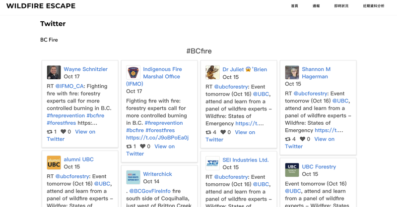
通報、即時回報資訊
nasa fire maphttps://firms.modaps.eosdis.nasa.gov/map/#z:4;c:-104.8,38.8;t:adv-points;d:2018-10-13..2018-10-20;l:firms_viirs
裡面有基本的衛星資料,含經緯度與探測的亮度https://firms.modaps.eosdis.nasa.gov/map/#z:8;c:-120.5,37.3;d:2018-10-19..2018-10-20
印尼火災地圖 整合道路、工業資料https://www.cifor.org/map/fire/
美國網路覆蓋地圖https://geoisp.com/us/
Fire Reporthttps://fires.globalforestwatch.org/report/
index.html#aoitype=GLOBAL&reporttype=globalcountryreport&country=United%20States&dates=fYear-2018!fMonth-10!fDay-9!tYear-2018!tMonth-10!tDay-16
美國政府防災通知無線緊急警報(WEA)https://www.ready.gov/alerts
聖地牙哥結合google map的防災地圖 標示封閉的道路點 避難點https://www.google.com/maps/d/viewer?ll=33.7190533396018%2C-117.6820275&hl=en&msa=0&z=12&source=embed&ie=UTF8&om=1&mid=1jP9tyBAnffCZcuDLP0Kkpocallk
地圖包含 土地利用類型 透過歷史數據的危險評估 空氣品質 風向 twitter打卡點
美國林務局 野火網站https://fsapps.nwcg.gov/afm/index.php
國家跨部會火災中心https://www.nif$3,300c.gov
USFS 美國林務局https://www.wfas.net/
Incident Information Systemhttps://inciweb.nwcg.gov/

SpaceApps is a NASA incubator innovation program.