


Team Updates
Introduction
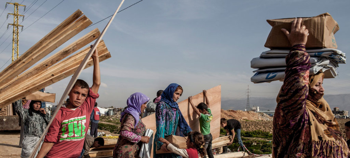
In 2017, UNHCR (United Nation High Commissioner for Refugees) registered around 68,5 millions of people who were forced to abandon their homes. According to the agency data, 102,8 mil people were regularly resettled by them. The majority of this people who are not attended end up in irregular settlements, not mapped and, consequently, without basic conditions of survival.
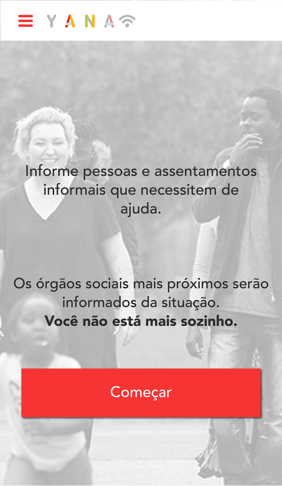
YANA is a StartUp that, using NASA data with mobile communication, maps those informal settlements and turn them into refugees - today invisible people into known ones. This way, it is possible to promote the social inclusion of those people, once that bodies as UN will have precise information about those fields and will be able to attend this population in an efficient way.
Source: UNHCR
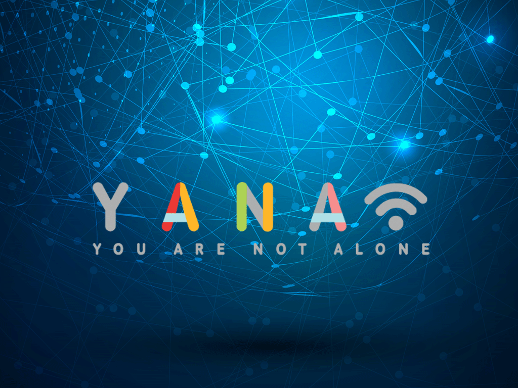
How YANA works
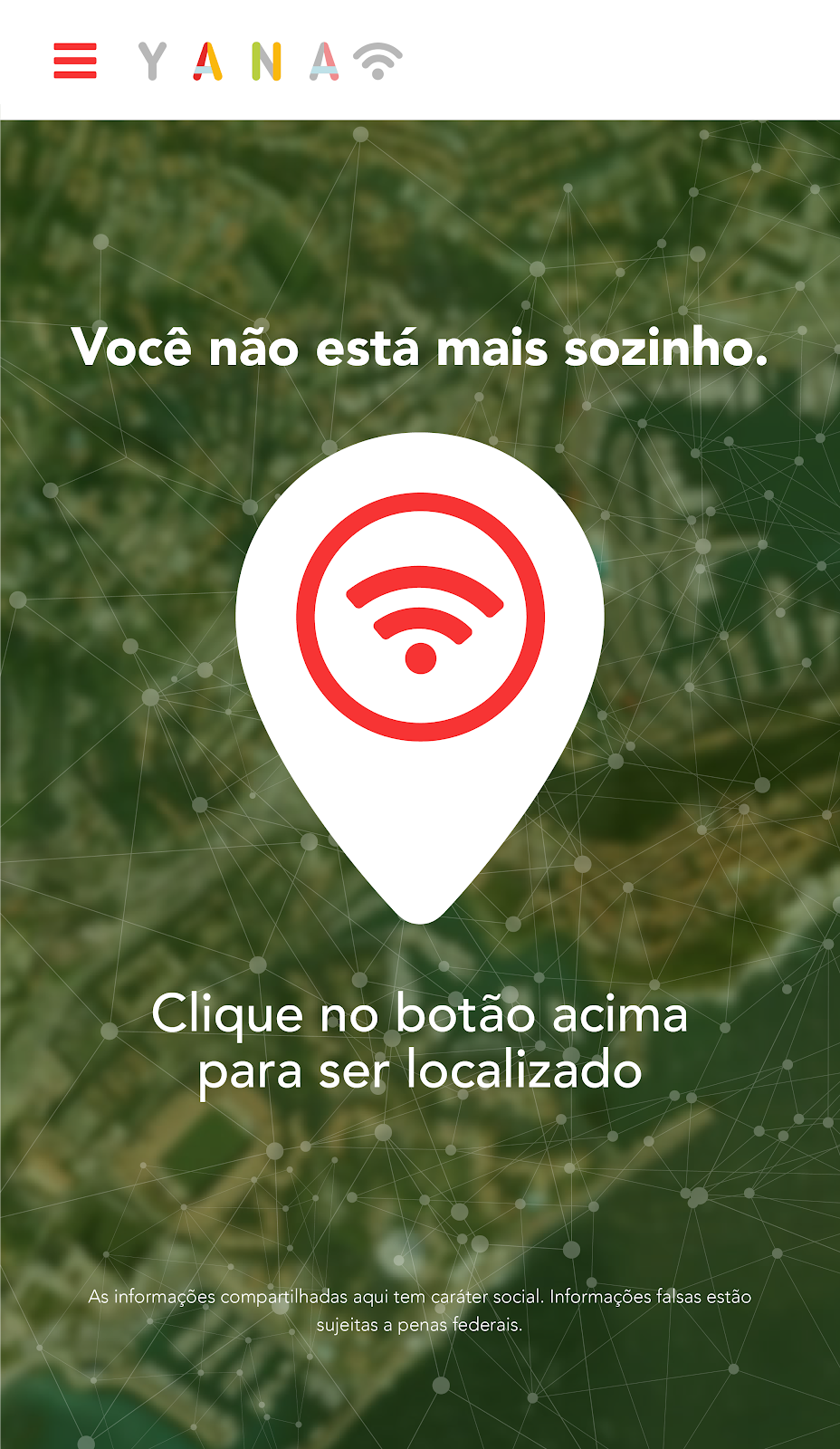
Yana is a worldwide collaborative platform which permits the identification and localization of displaced people either by the own person, or by other ones.
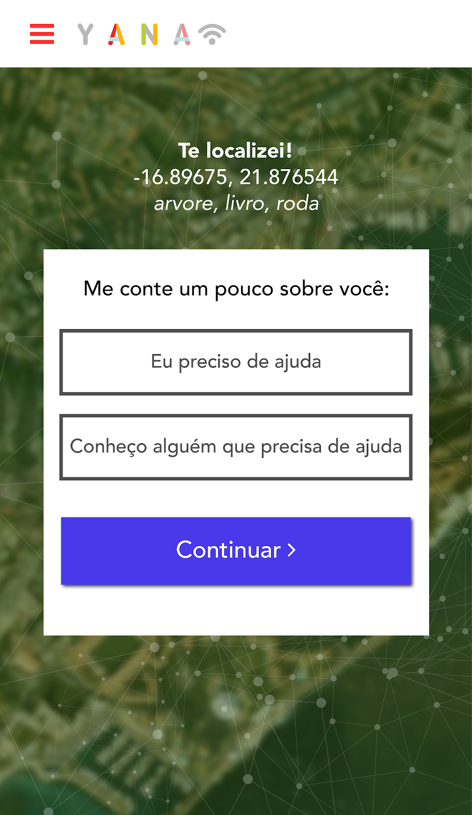
In case of the own person to start the contact, through activation via SMS
No caso da própria pessoa iniciar o contato, através do acionamento via SMS, Yana does a first recognition of the urgency level of the situation through 4 questions sent by the service requestor.
At this moment a localization system is activated by the mobile phone using
LBS (Location Based Service) through GSM (Global System for Mobile Communications) of the mobile mobile operator via data triangulation.
When identified the emergency situation, involving one or more people, their localization as well as their characteristics (available mappings) of that place are crosschecked and made available in the platform (Website and App) so that the institutions may analyze the area and their data and know precisely where and how they should act, and it there is any imminent risk to that population.
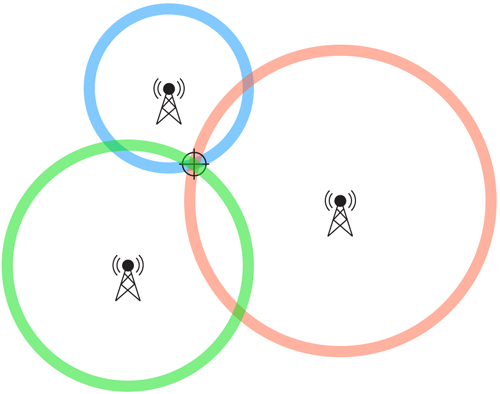
How the triangulation of data is done by mobile telephony
The GSM network (Global System for Mobile Communications) is formed by several entities, having a very flexible architecture. It is an extremely viable and advantageous to the mobile operators.
To the system working, it is used the CELL-ID technic. The LBS (Location Based Service) receives data regarding the service localization LGS. This service is responsible to send data and determine the best localization method of a mobile phone, do the systems conversion, identify the target (IMEI, IMSI, IP), estimate the data accuracy, protect the data privacy and enable the billings of the services rendered one by the mobile operators. The localization requests are received by GMLC of a LCS client. It coordinated all the positioning process and returns the client localization data.
Other important components in LBS architecture are: Gateway Mobile Location Center (GMLC) and the Serving Mobile Location Center (SMLC).
Source:opensat.com.br
CELL-ID Method
It is among the first geographic localization methods.
The device localization is obtained from the BTS (Base Transceiver Station) which is attending the client.
Depending on factors such as place, obstacles, relief and quantities of BTSs next, this method obtains an accuracy which varies between 50m in urban areas and 30kn in rural areas.
For the definition of the tower to be used, the GSM system measures the intensity of up to 6 towers close to the client, estimating the distance of the mobile device within the sector served by each tower. Crossing the data of the different towers makes it possible to find out the approximate location.
The measurement made between the Timing Advanced (TA) of the device and the station being used is called RTT (Round Trip Time). This method follows a 550 meters (m) scale. When the TA is, 1 the distance is close to 550m, when TA is 2 the distance is close to 1100m, etc.
Each distance has a margin of error, but through the triangulation of these measurements it is possible to obtain the geographical area of the mobile device with greater precision.
For the proposed service, whenever the initiation of a call occurs, the MSC (Mobile Switching Center) used reports the CGI (Cell Global Identity) number, which identifies the sector of the BTS used, to the LCS client.

Source: movilfacil.wordpress.com
SMS service
The sms service uses 4 questions to classify the urgency level of each case and allows the triangulation between data and distance calculations, defining the approximate location of the victim. These questions are:
1. Does the site have access to water and food?
2. Are there people in this situation with you? If so, how many?
3. Are you or anyone classified as elderly, children or pregnant women?
4. Have you or anyone suffered any kind of wound or serious injury? If YES, how many?
Each answer has a value that will be summed and used to calculate the urgency level of that case by defining it: low, medium low, medium, high risk

Mapping and Identification Method for Consolidated Informal Settlements
For cases of already consolidated settlements, the identification will go beyond to the voluntary form through outreach YANA.
By crossing information between mapping of changes on aspects such as light pollution, vegetation and heat mapping in the affected regions, within a radius of 20 kilometers (displacement distance identified by UNHCR studies - The UN refugee Agency), we can identify where people have settled and through satellite images it will be possible to identify the size of that settlement.
After this identification, it will be possible to complement the mapping (topography, declivity, hydrography, pluviometry and soil type) of the specific site of that settlement and then identify possible risk ss by geographical conditions.
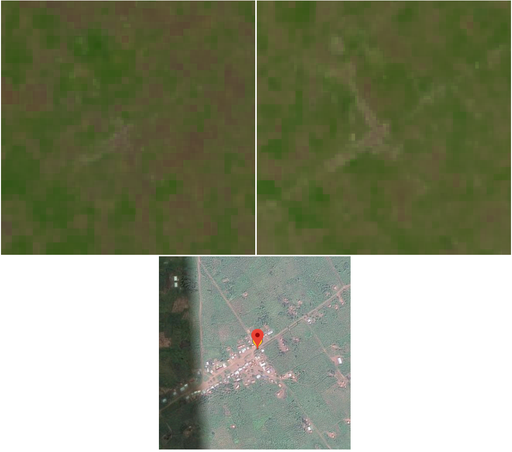
Source: NASA sattelites and Google Maps
YANA App Design

SpaceApps is a NASA incubator innovation program.