


Ice Poles | Polar Opposites
The Challenge | Polar Opposites
Design a data analysis and/or visualization tool to show the spatial and temporal changes in Arctic and Antarctic ice to a general audience.
Arctic and Antarctic Warming Waters
Video could not be embeded. Watch Here
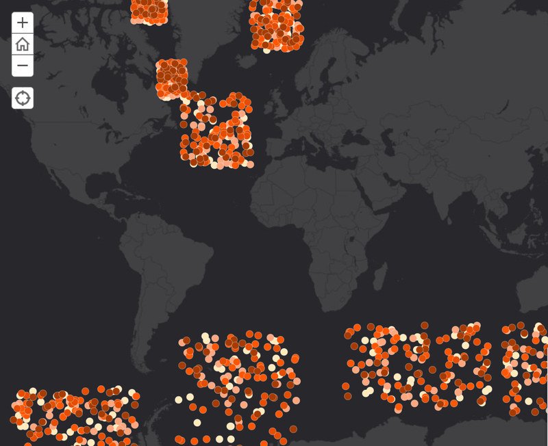
This was a fun project that we whipped up for NASA's 2018 Space Apps Challenge. We randomized latitude and longitude data to create visual representations of locations in the sea. Main purpose of this short term project was to further emphasize the warming of sea waters over the last 40 years. Also, we mapped Sea Ice Index to show sea ice recession in the north and south poles. Our two data sources were the National Oceanic and Atmospheric Administration (NOAA), and the National Snow and Ice Data Center (NSIDC) - more details in the application. We mainly used ArcGIS, Excel, and R for the data wrangling and visualizations. To see more visit our web app here: https://arcg.is/jrS98.

SpaceApps is a NASA incubator innovation program.