


Safe Discovery | 1D, 2D, 3D, Go!
The Challenge | 1D, 2D, 3D, Go!
Create and deploy web apps that will enable anyone to explore Earth from orbit! Visualize Earth science satellites and mission data using interactive virtual globes, such as NASA’s Web WorldWind. Use data sets from NASA’s Open Data Portal to present fire, ice, clouds, meteorites, or water temperature spectra.
Safe Discovery
Safe Discovery aims to help people discover local places safely using their bikes.
Cycling is one of the greatest ways to discover the areas around you. But it isn't always the case when a lot of the roads aren't suited for cycling.
The idea of Safe Discovery is to plan a route for the user that is safe for cycling by using Nasa WorldWind and the sensors on the users' phones to create a map of safe routes to help him discover new areas around him.
The basic Android app we created collects sensor data from the phone. (Created using Android Studio)
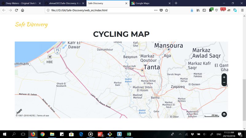
There is also a web application that draws the map based on the data collected from the user, using Here Maps API.

SpaceApps is a NASA incubator innovation program.