


Cognitive | Spot That Fire!
Awards & Nominations
Cognitive has received the following awards and nominations. Way to go!
The Challenge | Spot That Fire!
STF - Spot that Fire!
A user nearby wildfire reports a 5-sec video & info. Verification is by a trained R-CNN DL model and by nearby users. If fire is proofed, the system will help users to avoid area with GIS and ML, and it’ll notify firefighting stations to handle it.
Because of wildfires...
and just in 2017..
>> 21.8 billion dollars loss!
>> +3200 deaths!
>> 119'000 acres burned!
The idea:
A friendly user interface that allows a user nearby a wildfire to report rapidly a 5-sec video and selectable info. via mobile app. Verification is done using a pre-trained R-CNN deep learning model and also by other notified users nearby the location. If the fire is proofed, a recommendation system will help other users to avoid and evacuate the area with processed satellite information, remote sensing techniques, GIS and ML algorithms. It will also notify firefighting and police stations to handle the situation. It’s implemented by a gamification technique, where users get points according to their participation whether wildfires reporting or verification, and a heroes list is updated and shared in newsfeeds. A chatbot assistant is used to get a friendly user experience through proactive guidance for safety handling and precautions.

-----------------------------------------------------
APPLICATION WORKFLOW (SCREENS):
-----------------------------------------------------
Prediction of Fire direction (GIS and Remote Sensing):


We obtain the geo-locations from users and FIRMS data that provide near real-time active fire data and locations within 3 hours of satellite overpass from NASA's Moderate Resolution Imaging Spectroradiometer (MODIS) and NASA's Visible Infrared Imaging Radiometer Suite (VIIRS). Then, we integrate these locations with Remote sensing and GIS technologies to generate Normalized Differences of Vegetation Index (NDVI). This helps us distinguish between healthy and unhealthy vegetation, so we can predict the highest potential direction of fire spreading. Afterwards, we do some network analysis to provide the users with the best routes on map to escape from active fire or avoid it.
As shown above in normal user results:
- More green =healthy vegetation
- Less green=unhealthy vegetation
-----------------------------------------------------
Prediction of potential Fire Location:

We are working on associating machine learning prediction model with air quality data and weather data. It will detect potential fire locations, as they are likely areas with current weather conditions as strong winds, low relative humidity and warm temperatures; it might be with fire history besides. This will help to early warn the users for precautions and firefighting stations to mostly prevent damages estimated with billion dollars!
-----------------------------------------------------
PRE-TRAINED DEEP LEARNING R-CNN MODEL (Fire VIDEO CLASSIFIER):
Python libraries: Tensorflow, keras
Architecture: R-CNN (Temporal sequence of images)
Accuracy: 73%
Implementation: pretrained based-inceptionV1 R-CNN model
Future work: Increasing Deep Learning R-CNN model accuracy through dataset augmentation by re-updating the network through verified reported videos
-----------------------------------------------------
Working on deploying the app for other platforms: iOS & smart watches:

-----------------------------------------------------
RESOURCES, tools, and codes:
* NASA's data and open source tools:
- Our map (NASA FIRMS WMS Service and Landsat 8 Views)
- NASA's Fire Information for Resource Management System (FIRMS)
- United States Geological Survey (USGS) - EarthExplorer
- Moderate Resolution Imaging Spectroradiometer (MODIS)
- Visible Infrared Imaging Radiometer Suite (VIIRS) Active Fire Mapper
* Fire and Smoke Detection Methods using Deep Learning (Papers & implementation):
- Wildland Forest Fire Smoke Detection Based on Faster R-CNN using Sythetic Smoke Images
- Convolutional Neural Network for Video Fire and Smoke Detection
* Applied science:
- Normalized Difference Vegetation Index (NDVI)
* Fire statistics:
-----------------------------------------------------
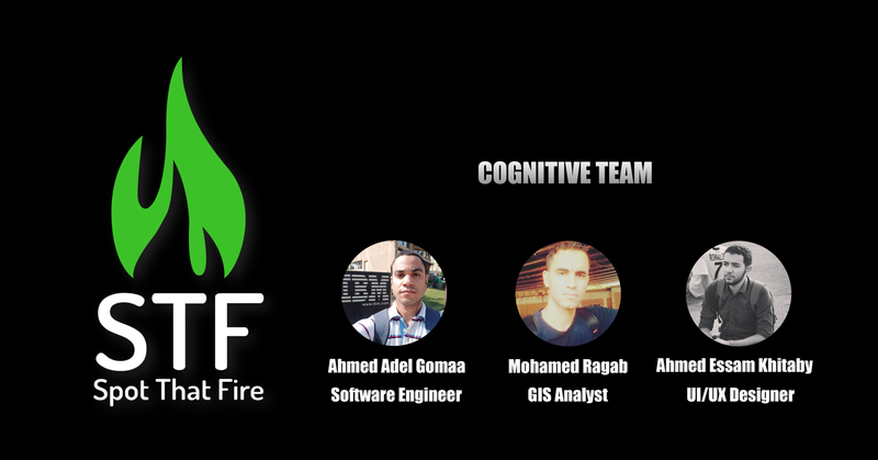
Team members:
Ahmed Adel Gomaa Elhagry - Software Engineer & Data Scientist
Ahmed Essam Khitaby - UI/UX Designer
Mohamed Ragab Mansy - GIS Analyst

SpaceApps is a NASA incubator innovation program.