


Galgos PUC-Rio | Mission to the Moon!
The Challenge | Mission to the Moon!
GALGOS Space Program
Our project aims to find a suitable landing site and direct a rover through places with a high probability of finding water on the south pole of the Moon.
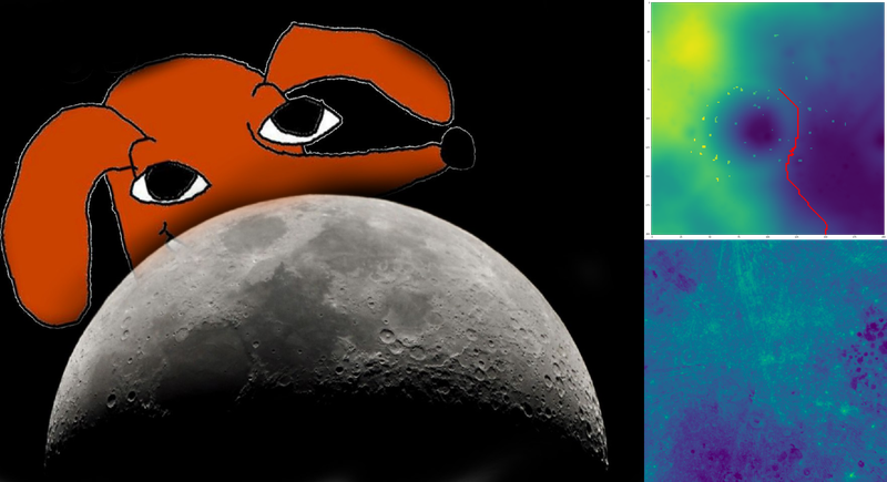
According to the paper, we filter the map of the south pole of the moon into Points-of-interest in which there is high probability of finding water.
Therefore, our main application serves as a decision support for mission control planners. We have taken as a premisse that the space agencies are going to stablish a moon base
We break this solution into two modules: (1) the selection of landing site and (2) the space rover routing.
Firstly, the selection of landing site takes into consideration criteria such as the high incidence of Points-of-Interest within a given safety radius and a high area with a constant slope for safe landing. Therefore, we filter candidates to landing sites and score them. Then, we present the scoring of landing sites to the user for selection.
After selecting a landing site, the user may specify an amount of charges he or she wants to break the rover's exploration. The solution, then, clusters the Points-of-Interest into these points and uses an heuristic to propose a route for visiting all point in a cluster for each charging period of the space rover.
The source code was written using jupyter notebooks (http://jupyter.org/) in Python and Julia languages.
Link to repository: https://github.com/schardong/nasa_moon

SpaceApps is a NASA incubator innovation program.