


Starships | The Land Where Displaced People Settle
The Challenge | The Land Where Displaced People Settle
Map inhabited areas and estimate population
The aim of the project is to predict how many people live in any random area in the world. Predictions can be made on different maps like temperature maps, city-lights maps, population maps etc. As a result, we have a number of people that live in the city
The aim of the project is to predict how many people live in any random area in the world. The predictions can be made on different maps like temperature maps, city-lights maps, population maps etc. Our model is basically a CNN (Convolutional neural network) that consists of seven convolutional layers and functions. Here is a pipeline of our model: Conv2D→LeakyRELU→Conv2D→LeakyRELU→MaxPooling2D→Dropout→Conv2D→LeakyRELU→Conv2D→LeakyRELU→MaxPooling2D→Dropout→Flatten→Dense→LeakyRELU→Dropout→Dense→RELU.
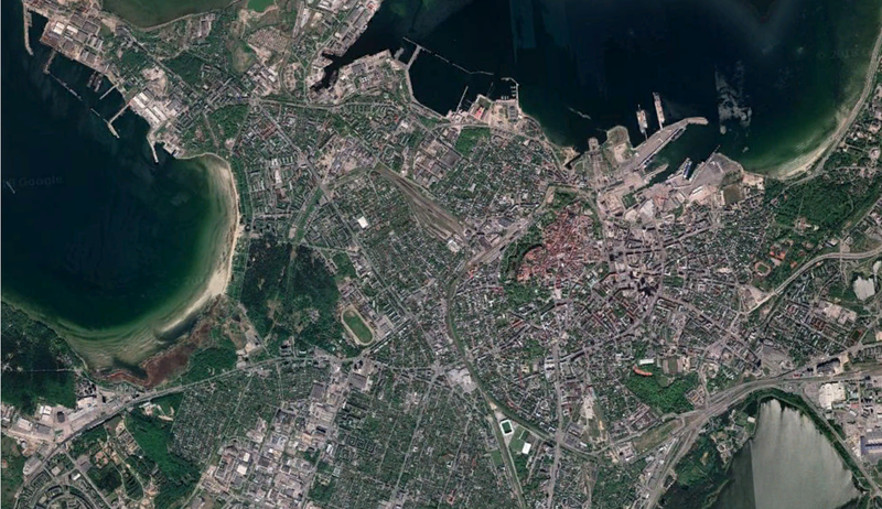
As the input, the model takes picture of a map of Tallinn city, preprocess it (change resolution to 100x100 pixels) and augment it. For augmentation, we used rotation, Gaussian noise, horizontal flip. Then, the model process pictures and makes predictions which is an output - the number of people that lives in the given city.
The main idea succeeded, and our model can predict the population of the city based on different maps with good precision. Our project can have further development of UI (user interface). Also, we can achieve better prediction quality with training on more map data from different corners of the world. Our topic is very wide, and different ideas can be added up in the future development.
For more information, I invite you to visit our website. Also, code part is in Github (all links below)
WEBSITE link: http://talassa.tilda.ws/main
GITHUB link: https://github.com/slavikkom/spaceappshackathon

SpaceApps is a NASA incubator innovation program.