


Milky Way | Looking GLOBE-ally
The Challenge | Looking GLOBE-ally
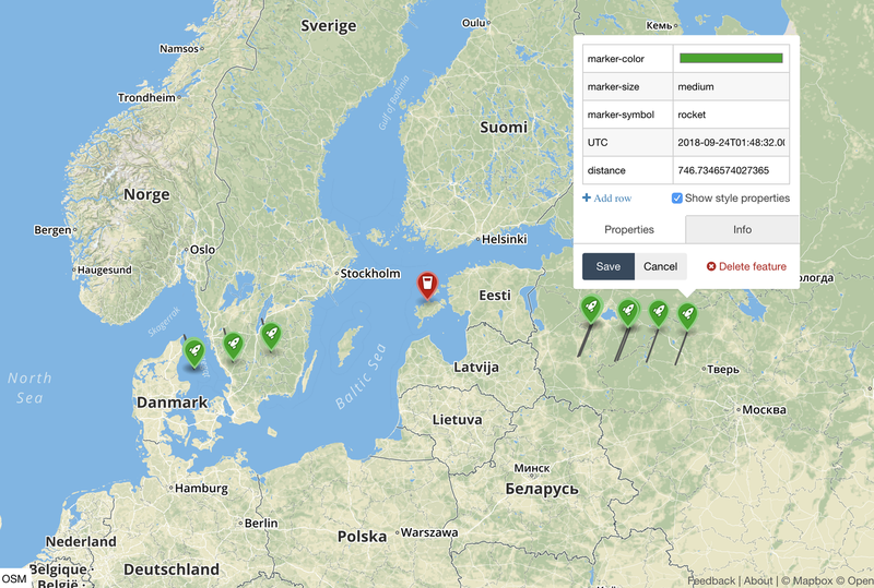
Viewsheds from Space: The visibility of a geographic place from Sentinel-1
Many places and objects are not visible from satellite sensors because the line of sight is blocked by relief (mountains). As data processing and analysis is time and resource consuming, it would be very useful to know before the analysis, if the object is
Goal:
Many places and objects are not visible from satellite sensors because the line of sight is blocked by relief (mountains) or buildings, trees etc. However, the proposed idea would focus only on relief. There are many objects or places that can’t be monitored by satellites because they are blocked from the satellite’s view by mountains.
As data processing and analysis is time and resource consuming, it would be very useful to know before the analysis, if the object is visible to the satellite or not. The proposed software could be integrated into existing analysis components and it would optimise the expenses of the analysis.
Solution:
A tool that enables to analyse the geographic location of the object, surrounding relief and the line of sight of the satellite and answers the question, if the object is visible or not
Our tool:
Predicts from metadata whether the point of interest is visible (not shaded)
Can be interfaced with any data processing system
Can be configured to work with any satellite
Links:
Source code: https://github.com/arnelism/milkyway_orbits?fbclid...
Machine readable working endpoint: http://node-express-env.3hmpndk8fv.eu-central-1.el...

SpaceApps is a NASA incubator innovation program.