


Fire Saver | Spot That Fire!
The Challenge | Spot That Fire!
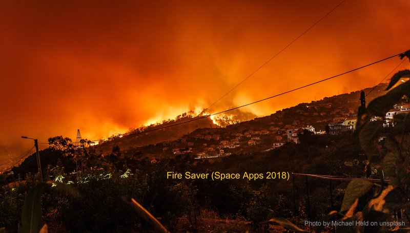
Fire Savers
Helping people escape from a wildfire by combining satellite, air quality and other useful information.
To notify people at risk of active fires and help them find the safest direction of escape
- People register on the system with their mobile, including mobiles of their family/people in their care
- In the event of a fire they will receive an SMS indicating where the fire is and what the range of impact is
- Whilst in the risk area, they will receive SMS messages that describe which direction to move to escape the fire
Notifications
People can enable the level of position tracking that they are comfortable with but, since this only becomes active in the event of a fire, it is in their interest to enable the highest level of tracking
Level 1 - Tracking in the event of a wild fire in their region as local area wrt their registered ‘home’ location, or fire anywhere. This level would require no location tracking
Level 2 - Enable low fidelity mobile location tracking fed to central system to receive notifications if affected
Level 3 - Switch to high fidelity location tracking to support high frequency notifications for dynamic movement updates i.e. every minute
Risk model
There are fire risk models already but Fire Saver proposes use of additonal sensor and other data feeds, used a central system to enhance both the locational accuracy and timeliness of the notifications
Beyond the existing MODIS and VIRS event notification, the Fire Saver system would utilise
- Other low latency satellite/drone imagery e.g. Planet
- Any air quality PM2.5/PM10 sensor networks e.g. OpenAQ, Luftdaten, Airly, LondonAir, uk-air.defra, aqicn.org, hackAir, PurpleAir etc.
- Mobile operator anonymised mast status/traffic
- Twitter keywords (linked to associated location of user)
Project Progress
- Back end Geoserver server and PostgreSQL database to support raster and vector data ingestion
- Ingestion of NASA VIRS and OpenAQ vector data sets into Geoserver for provision as WMS and/or WFS service
- Front end Web GUI hosted by Geoserver Jetty container, based on Javascript and OpenLayers to provide Bing background basemaps overlaid with large fire events from the VIRS data set and PM2.5 above average air quality values

SpaceApps is a NASA incubator innovation program.