


D - Extractor | 1D, 2D, 3D, Go!
The Challenge | 1D, 2D, 3D, Go!
Your image to data on any environment
Image repository organized as social media feed that provides an easy way to find and select an image to be converted to a 1D format to integrate on any tool that supports js,csv, Json or Geojson format
Overview
Digital image processing is a technique as old as the computer itself. It was developed in the 60’s in research facilities around the US. Today, it has many applications on medical imaging, character recognition, photograph enhancement and so on. Even after all these years of development is still difficult for non scientists to work with image manipulation. Our proposal is to make it easy, so anyone that has a minimum background can discover nasa data.
Starting from the beginning. Have you ever tried to use NASA open data to find an image? Well… We tried! And it took us a little more time than we imagine to find what we were looking for.
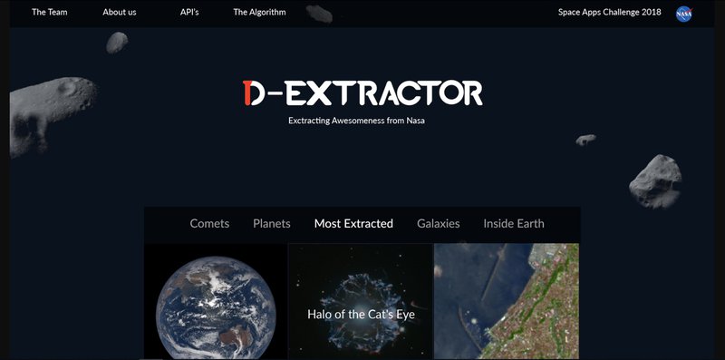
The D-Extractor is an image repository to concentrate NASA’s image that are available for public usage, the images are organized by categories and are displayed on page like a social media feed. Users can browse for an image, select, have a brief overview of the image and convert it’s format to 1D or even to GeoJson, Json and CSV
Image processing
Converting images to 1D array can be useful to minimize the size of the files and perform faster experiments using the converted datasets. In order to do that it is used and algorithm in python to perform a transformation to matrix to array
The NumPy library can be used to help with these transformations converting the 2D image to grayscale first and then reverse and transforming. The Matplotlib on the other hand is useful to create histograms of the images separating their colors. SciPy is also a python library to help programmers to execute mathematical operations like signal processing, and most importantly for us, image processing.
The three are free and open source libraries and can be used on free apps.
The other conversion proposed is to use the data to convert the images into GeoJson files that can be exported to other tools to explore the territory.
Python also has a library to do that it is called Pandas it uses entries on latitude and longitudes to format the GeoJson file.
Applications
Applications on the converted files on different formats can expand the number of possible experiments and tools to data visualization and enhance the work of teachers dealing with their students, students from different ages to explore each part of earth or even companies that using Geojson can perform data calculation without going physically to the place.
The whole idea is to the the middleware for the conversion of images to formats that can be further explored, the possibilities are limitless.
Development Tools
- Backend with Java and springbot
- Frontend with Angular 6 and foundation
- Python for the conversion algorithms
- Deployed with TomCat on Amazon

SpaceApps is a NASA incubator innovation program.